
Nara weather: what the climate table means
Nara weather varies across the year, and the climate table is a useful starting point for packing and arranging outdoor visits. It represents the Nara station, identifier 47780, using the Japan Meteorological Agency normal period of 1991 to 2020. Use it for the city’s seasonal pattern rather than applying the same values to every part of Nara Prefecture or to mountain destinations elsewhere.
The maximum and minimum columns give monthly averages of daily highs and lows. They are not temperature records or a promise of the conditions on a particular day. Rainfall is the average monthly total. A month with a lower rainfall figure can still contain wet days, so leave room for adjustments even when the climate pattern looks favourable for walking.
Monthly temperature and rainfall averages
The figures below reproduce the JMA normals for Nara, retrieved on 3 November 2026. Read the temperature columns together when choosing layers: the daytime average and the overnight average answer different packing questions. The rainfall column helps compare seasons, while a short-range forecast helps with the actual day. Keep a distinction between the historical climate reference and the information you use immediately before setting out.
For seasonal highlights such as cherry blossom and maple colour, continue to the best time to visit Nara. A temperature average helps explain the season but does not establish a flowering date. Plan a garden or city route around several interests so it can remain enjoyable if your preferred natural highlight comes earlier or later than expected.
| Month | Mean daily maximum °C | Mean daily minimum °C | Mean monthly rain mm |
|---|---|---|---|
| January | 8.7 | 0.8 | 52.4 |
| February | 9.9 | 1.0 | 63.1 |
| March | 13.9 | 3.6 | 105.1 |
| April | 19.8 | 8.7 | 98.9 |
| May | 24.9 | 13.9 | 138.5 |
| June | 28.1 | 18.4 | 184.1 |
| July | 31.7 | 23.0 | 173.5 |
| August | 33.4 | 24.1 | 127.9 |
| September | 28.8 | 20.1 | 159.0 |
| October | 22.6 | 13.5 | 134.7 |
| November | 17.1 | 7.3 | 71.2 |
| December | 11.6 | 3.0 | 56.8 |
Nara sightseeing by bus
An air-conditioned sightseeing bus is one option when planning around the weather.
Hand-picked tours, booked through Viator. Prices are indicative starting prices in US dollars (as of October 2026). Tap a tour for live availability and the current price in your currency.
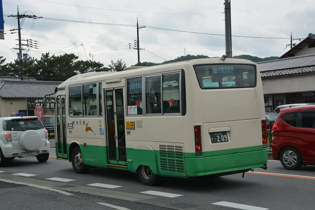
See Nara with a local sightseeing bus
Compare a bus visit with an English-speaking guide, an air-conditioned vehicle and included temple admission and viewing fees. Boarding plans use JR Nara or Kintetsu-Nara.
Planning summer walks around heat and rain
August has the highest average daily maximum in this station table, and June the largest average monthly rainfall total. As a practical planning choice, divide summer walking into manageable sections and allow pauses between outdoor sights. Carry water and choose clothing you can adapt to the day. A long uninterrupted route is harder to change once you are already committed to its distant end.
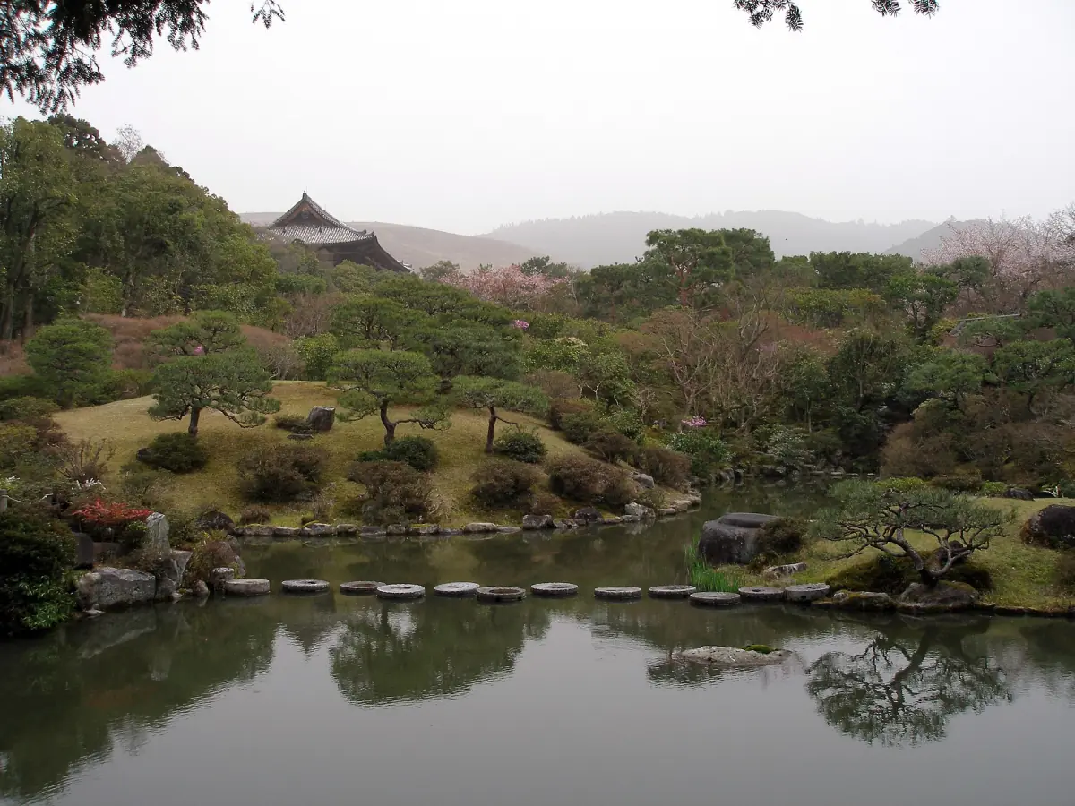
Keep rain protection accessible rather than buried beneath everything else in your bag. On a wet day, shorten the walking portion and reconsider any visit involving uneven stepping stones. The Isuien and Yoshikien guide explains garden access and opening arrangements. Rain preparation and a garden’s operating rules are separate parts of the decision, so use both when choosing the day’s order.
A bus sightseeing option within the city
A local sightseeing bus tour can provide transport between parts of a visit when you prefer that format to a long walking route. The featured bus option includes an air-conditioned vehicle, an English-speaking guide and temple admission and viewing fees. Choose its boarding plan at JR Nara or Kintetsu-Nara. These are different stations, so make the meeting location part of your transport plan from the outset.
Treat the bus format as a way to arrange the journey between visits. Keep suitable clothing and rain protection with you for outdoor parts of the day. If you prefer more flexibility over the balance of walking and transport, compare the formats in the Nara tour guide. Choose by the places and included services that matter to you, rather than by an assumption about the weather.
Cooler months and the final daily decision
For a cooler-season visit, layers give you more options than a single clothing choice for the entire day. Look at the difference between average highs and lows before deciding what to take for an evening outing. A climate normal remains a preparation tool; it should not be used to promise a dry, frost-free or uniformly comfortable day.
Before leaving your accommodation, use a current forecast and the opening information for the places on your plan. Set a main visit and an optional outdoor extension, then decide whether that extension still suits the conditions. For a mountain addition, read the Mount Wakakusa access guide, because permitted access hours matter alongside the weather. This gives you a practical daily choice without rebuilding the entire itinerary.
Questions about your visit
Is this a current Nara forecast?
The table shows climate normals for 1991 to 2020 at the Nara station. Use a current forecast for your actual travel dates.
What do maximum and minimum mean here?
They are monthly averages of daily highest and lowest temperatures, not absolute temperature records.
Which months have the strongest heat and rainfall signals?
In this station table, August has the highest average daily maximum and June the largest average monthly rainfall total.